
Glowing flight arcs launch between major cities across a dotted world map, with travelling planes and landing pulses on loop.
Country Highlight

A region of the dotted world map lights up in a glowing wave, pulses and gets an editable label callout.
Part of Maps & Routes. New to this kind of graphic? Read How to Animate a Travel Route on a Map.
A region of the dotted world map lights up in a glowing wave, pulses and gets an editable label callout. It belongs to the Maps & Routes category on velements, where you edit it in the browser and download it as a finished video file.
Every control in the editor, grouped the same way there. Content: title. Typography: font. Style: background, primary, secondary, accent, thickness and text color. Layout: aspect ratio, scale, target x and target y. Motion: duration, speed, easing and variation. Each change appears in the live preview straight away, and editing is free.
Country Highlight runs 7.5 seconds by default, and you can set any length up to 60 seconds before you export. It plays once from start to finish, so it drops straight onto a cut or an opening.
Yes. Set the background to Transparent, then export a PNG sequence for Premiere Pro, After Effects, DaVinci Resolve, Final Cut Pro or Figma: import the first frame as an image sequence and it drops onto a track above your footage with a straight alpha channel. Export WebM with a VP9 alpha channel for the web and for CapCut. MP4 has no alpha channel, so it keeps a solid color or image behind the animation.
Yes. Each download comes with a perpetual commercial license in your name for client work, ads and products, and you may sell the edited clip on stock footage sites. Reselling the preset itself as an editable template is not allowed.
Glowing flight arcs launch between major cities across a dotted world map, with travelling planes and landing pulses on loop.

A delivery marker follows a glowing route through an abstract city street grid to a pulsing destination pin.
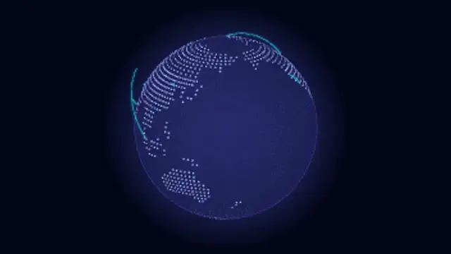
A dotted 3D globe spins seamlessly while glowing connection arcs link cities around the world.
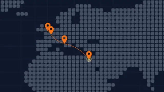
Map pins drop at each stop while a dashed travel route draws from city to city across a minimal grid map.
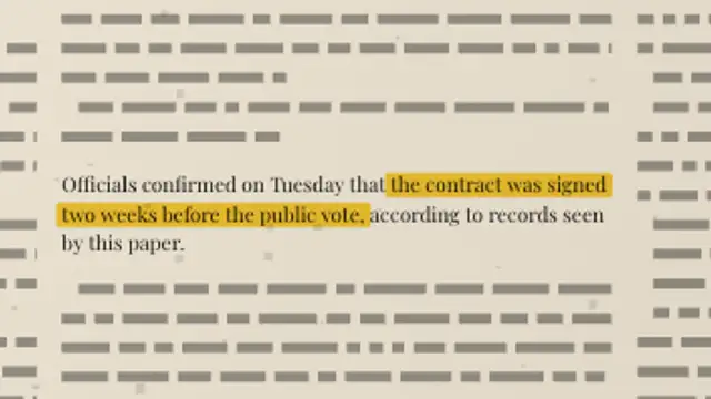
A full newspaper page sets its own columns, then the camera pushes into your paragraph and a highlighter sweeps the exact words you marked.
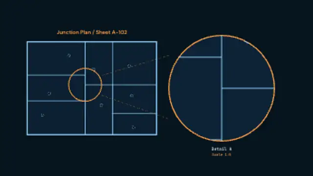
A drawing inks itself in, a detail circle closes around one junction, and tangent leaders carry it out to an enlarged bubble carrying its own detail reference and scale.

A browser window holds, then the view pushes into one feature, rings it with a highlight and pops a label before pulling back out.
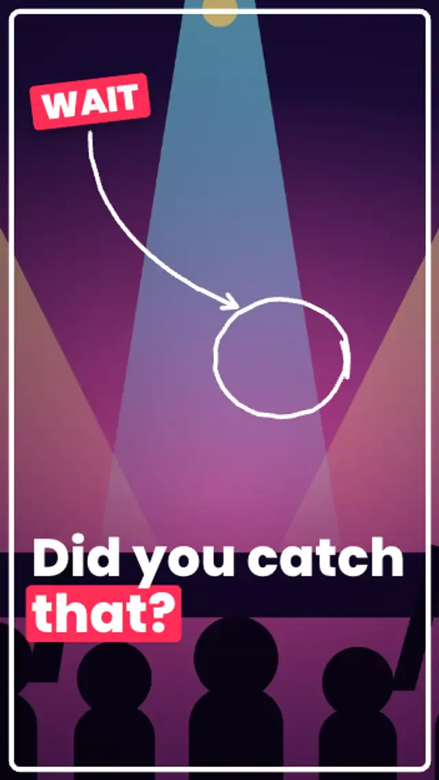
The shot freezes with a white flash and a punch-in, a frame outline draws around it, a WAIT sticker slaps on and a hand-drawn circle and arrow point at the detail.